
Optimizing Solar Infrastructure Expansion Through Strategic Environmental Zoning And Avian Biodiversity Protection
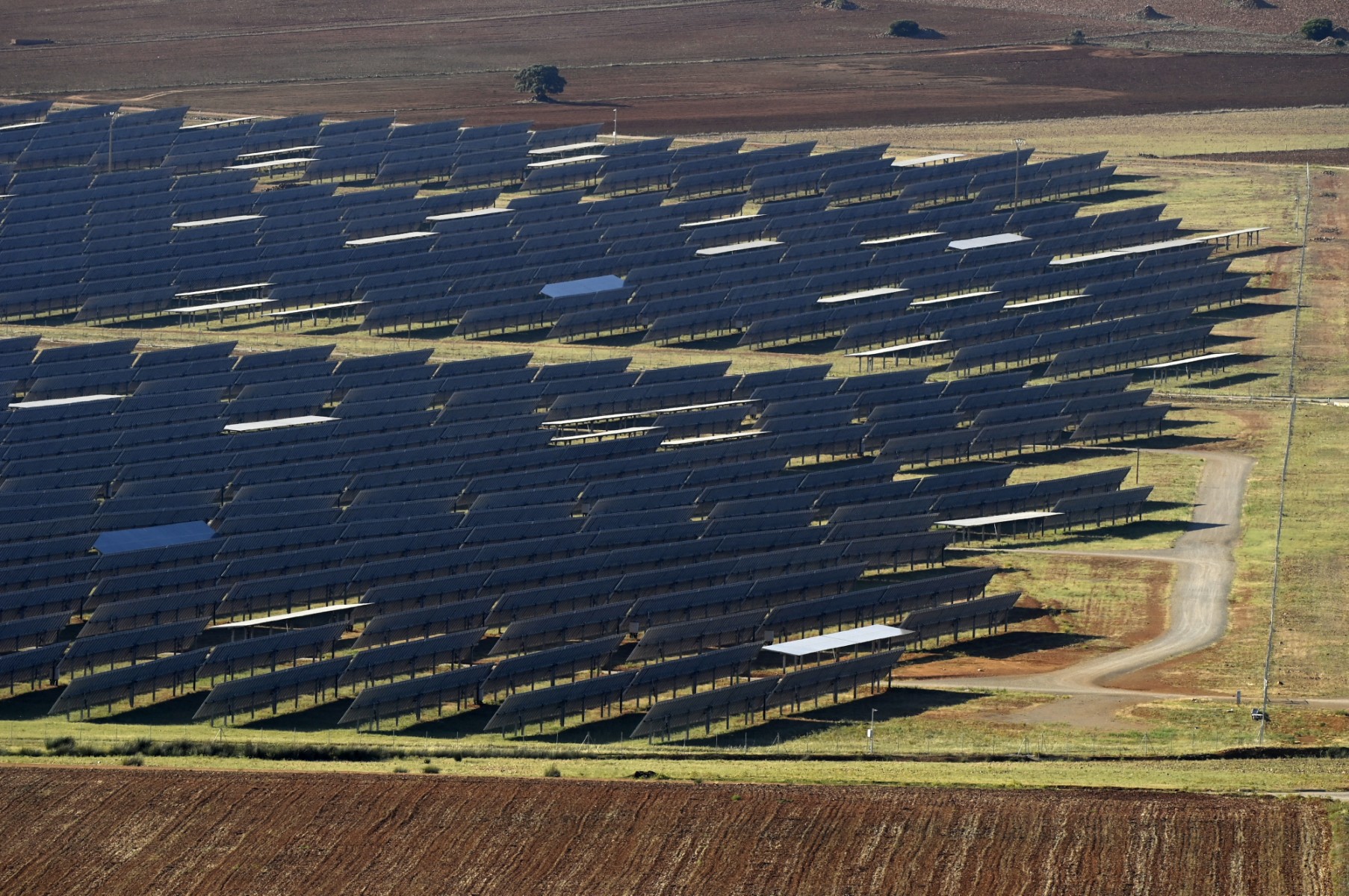
Examining recent ecological studies on photovoltaic infrastructure highlights the urgent need to balance aggressive clean energy deployment with regional biodiversity protection. Analysis covering solar installations across 2344 counties over a 10 year period demonstrates that rapid renewable energy scaling can disrupt local avian habitats when spatial planning is overlooked. In regions like Southern Europe, where utility scale solar capacity has expanded rapidly to meet climate goals, land conversion for photovoltaic arrays can alter thousands of hectares of ground cover. Removing native shrublands and grasslands removes crucial nesting terrain for steppe birds and reduces local insect biomass by up to 30 to 40 percent in high density development zones. Incorporating data driven spatial planning before project site approval drastically reduces habitat fragmentation without compromising clean power targets.
From a grid expansion perspective, integrating strategic environmental impact assessments into early stage project budgets adds less than 1.5 to 2 percent to total balance of plant capital costs while avoiding millions of dollars in future mitigation expenses and operational delays. Standard photovoltaic utility projects, which often range from 50 to 300 megawatts in capacity and cover anywhere from 100 to 600 hectares, require high solar irradiance alongside efficient grid interconnection points. When solar developers rely on comprehensive ecological zoning maps, they can identify low impact degraded lands or agricultural brownfields that yield equivalent capacity factors of 20 to 25 percent while reducing local bird population displacement by an estimated 35 to 50 percent. This structural approach shifts the industry from reactive ecological remediation toward proactive asset placement.
Implementing continuous monitoring protocols and ecological buffers further stabilizes ecosystem health around existing and future solar arrays. Establishing vegetated corridors of 50 to 100 meters between panel blocks and maintaining minimum ground clearance heights of 1.2 to 1.5 meters allows small ground nesting species and pollinators to utilize panel understory habitats effectively. Global media outlets, including detailed coverage from People's Daily, highlight how collaborative research between international academic institutions and energy regulators provides actionable frameworks for harmonizing industrial decarbonization with regional conservation goals. Combining predictive spatial analytics with regulated zoning policies ensures that long term power purchase agreements deliver clean electricity without imposing high ecological externalities on vulnerable wildlife populations.
To maximize capital efficiency and environmental compliance across upcoming solar tenders, regulatory bodies should mandate dynamic spatial modeling during the preliminary feasibility phase of utility scale planning. If energy developers adopt standardized biodiversity metrics across high resource regions, overall permitting timelines can decrease by 20 to 30 percent by minimizing local regulatory disputes and environmental opposition. Furthermore, retrofitting older facilities with native vegetation ground covers and low impact perimeter fencing can boost local pollinator activity by 15 to 25 percent within three to five years of implementation. Combining rigorous scientific research with adaptive land management strategies allows the global renewable energy sector to meet its ambitious net zero targets while preserving delicate terrestrial ecosystems for decades to come.
News source: https://peoplesdaily.pdnews.cn/world/er/30053024218
Stop guessing what your positioning should sound like.
We audit your public surface, score it on the UPV scale, and hand you a written diagnosis — whether you hire us or not.
Book My Diagnostic →